Living with floods
The Lower Beira Corridor is made up of low-lying wetlands and pastures, and solely preventing flooding is not a feasible option due to the different sources of floodwater. Flooding can come from both the Buzi River that passes through the district capital and the overflow from the Pungue River in the North. Besides, preventing floods is not always desirable, as they contribute to the fertility of agricultural lands. Instead of preventing floods, a solution that builds resilience and protects lives and livelihoods must be sought.
Farmers in the Buzi area have adapted to living with floods as the lands flood yearly. However, cyclones exacerbate the extent and duration of floods every few years. Mozambique is highly vulnerable to cyclones and has been hit by several tropical storms in the past years, including Cyclone Idai in 2019. Cyclone Idai was the second deadliest tropical storm in the world, resulting in devastating damage, with about 1,500 people losing their lives and much of the land in Buzi and surrounding districts being flooded for weeks to months.
The Shelter mission
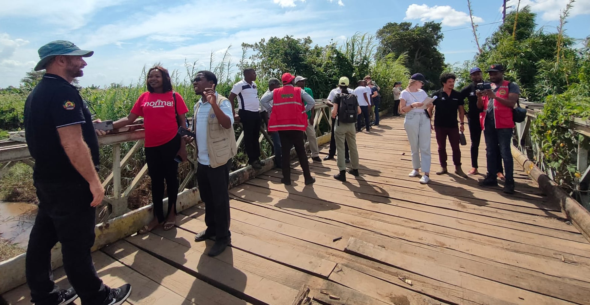
Through the Shelter mission to Buzi, Arcadis supports a broader development initiative aimed at increasing Lower Beira Corridor’s resilience to flooding. The focus of the mission was to provide advice on the design and locations of a network of support platforms, which are elevated landscape elements, such as existing hospitals and schools, which remain dry during extreme floods. During such events, people can go to these platforms to find shelter. They can also serve as marketplaces, classrooms or distribution points for aid.
The mission consisted of three parts that fed to each other. First, the team used geographic information system (GIS) to identify areas most at risk and the population distribution, including the location of important buildings. Secondly, the team assessed the existing flood infrastructure and provided recommendations for improvement. Finally, based on the mapping assignment and the flood infrastructure analysis, a recommendation was made on where and how to implement the support platforms.
The team considered various social and environmental elements to make recommendations that were not only logistically and hydrologically sound but also considered the specific needs of the local communities. By connecting knowledge of river dynamics and terrain elevation with the location of populated areas and important buildings, the team provided recommendations that support the resilience of the Buzi District.