Following the final handover of the calculation system, the region is equipped to maintain the largest low-level moorland in southern Germany long into the future.


In the natural moor region of the Donaumoos, urbanization and the associated drainage is causing peat soil losses of 1-2cm a year.
180 km²
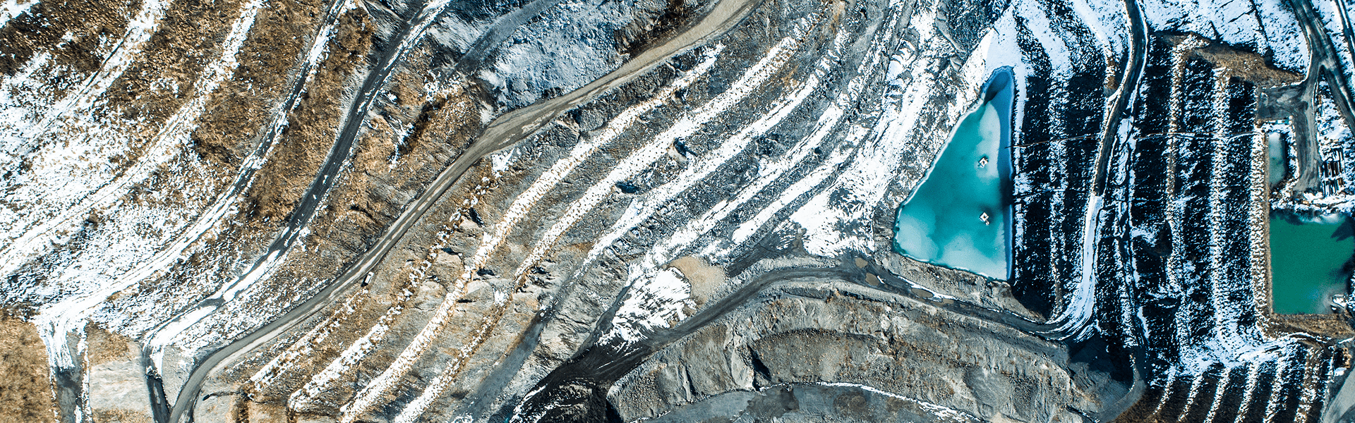
In the 180 km² Donaumoos region, urbanization and the associated drainage is causing peat soil to be lost at a rate of one to two centimeters a year. With its high water absorption capacity, intact moorland acts as an effective flood prevention barrier. It also absorbs carbon dioxide from the atmosphere and provides a valuable habitat for rare animal and plant species — which is why it is so essential to prevent ongoing peat soil losses and stop the surface level of the moorland from dropping any further.
A digital modeling platform to assist with the targeted development of water management measures for the long-term preservation of moor region.
1 million m³
To end peat soil loss, the Ingolstadt water board partnered with Zweckverband Donaumoos, an association founded to preserve this important region, to develop the "Donaumoos 2000–2030 development concept". To achieve the moorland protection, flood prevention and species and biotope protection goals set out in this concept—and to ensure that the land can continue to be used for agriculture and that the environmental targets in the EU's Water Framework Directive are met—the water management team in Ingolstadt instructed Arcadis to develop a digital calculation system. This system would allow water management measures to be developed, modeled, evaluated and visualized in a targeted way.
The system developed by Arcadis uses a modular structure based on a groundwater model, a precipitation drainage model and a hydrodynamic numerical model. The system will be used for a range of purposes, from creating comprehensive simulations and forecasting calculations, to groundwater management. This will allow the water management team to work out in advance how precipitation or the addition of new gravel will affect the Donaumoos area. The models can also be used to produce robust predictions if local residents contact the association with concerns about changes in the groundwater level.
They are also useful for generating data for renaturation areas or improving water management for long-term agricultural use. On completion of the calculation system, the model will be calibrated and calculation sequences will be developed; various flood scenarios will also be simulated.
By preserving the peat soil, a valuable habitat for animals and plants is permanently protected and contributes to flood protection in the Donaumoos natural area.
6
In the future, with the help of a specific calculation system, it will be possible to develop, evaluate and implement water management measures to protect moorland and the species and biotopes they contain, to prevent flooding and to secure land for long-term agricultural use — more efficiently, faster and more flexibly than ever before. The intact moorland will help to prevent flooding in the region in the long term, and an important habitat for animals and plants will be preserved.
We hope you enjoyed this story. It would be our pleasure to connect with you and discuss how we can help you improve the quality of life at your business.